CPAT Regional Historic Environment Record 
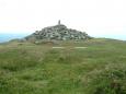
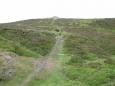
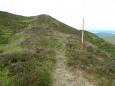
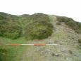
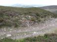
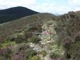
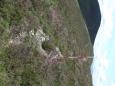
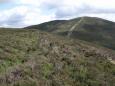
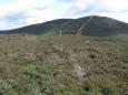
The following information is from the
on-line database 'Archwilio'. Use the icons in the sources section below to download further digital information.
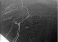
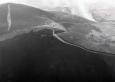
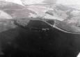
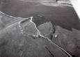
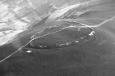
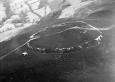
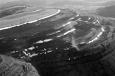
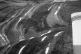
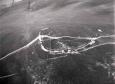
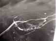
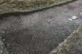
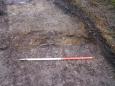
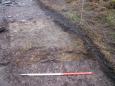
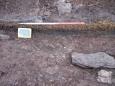
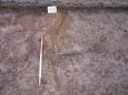
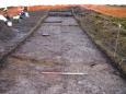
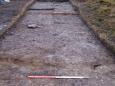
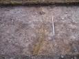
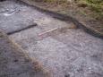
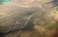
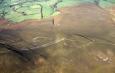
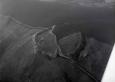
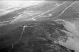
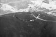
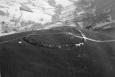
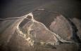
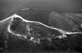
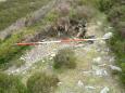
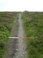
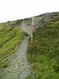
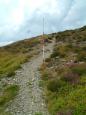
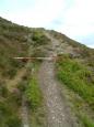
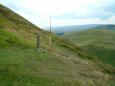
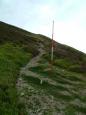
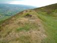
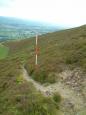
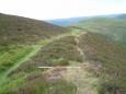
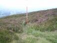
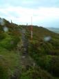
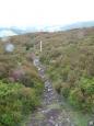
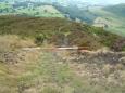
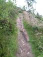
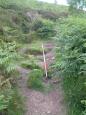
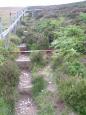
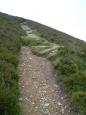
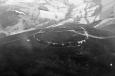
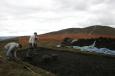
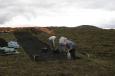
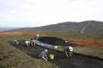
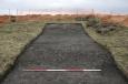
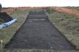
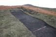
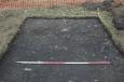
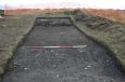
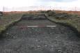
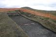
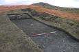
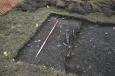
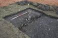
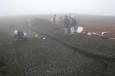
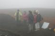
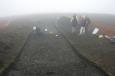
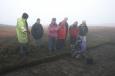
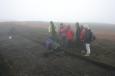
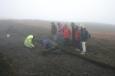
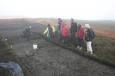
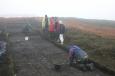
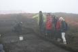
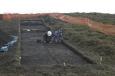
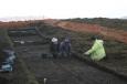
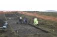
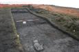
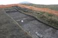
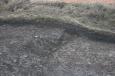
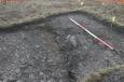
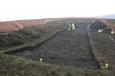
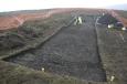
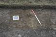
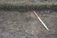
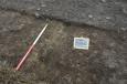
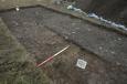
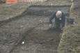
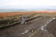
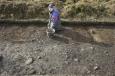
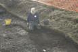
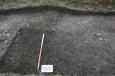
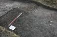
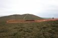
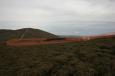
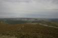
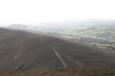
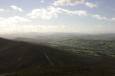
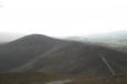
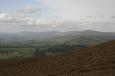
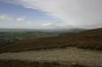
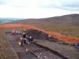
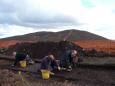
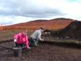
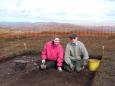
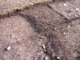
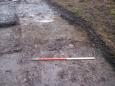
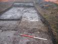
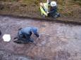
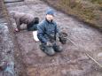
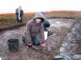
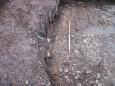
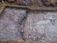
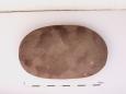
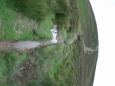
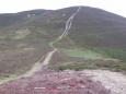
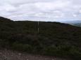
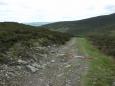
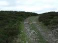
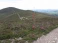
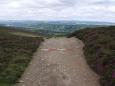
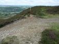
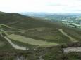
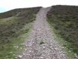
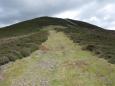
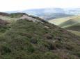
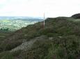
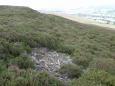
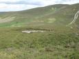
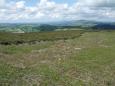
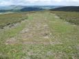
Moel y Gaer Llantysilio hillfort
Primary Reference Number (PRN) : 101366 Trust : Clwyd Powys Community : Bryneglwys Unitary authority : Denbighshire NGR : SJ1669746370 Site Type (preferred type first) : IRON AGE HILLFORT Status : scheduled monument
Summary : An univallate hillfort with a stone bank up to 3.1m high externally, 0.6m internally with a 10m wide ditch to the north. The eastern entrance is in-turned for 20m.
An excavation in 2010 by Clwyd-Powys Archaeological Trust identified the remains of two successive roundhouses and at least two phases of occupation. The earlier structure survived as a narrow drip gully around 7m in diameter which had been partly overlain by a levelled platform for a later roundhouse of similar dimensions.
Description : An univallate hillfort with a stone bank up to 3.1m high externally, 0.6m internally with a 10m wide ditch to the north. The eastern entrance is in-turned for 20m.
The very southern edge of this Scheduled Ancient Monument lies within the Cae Llewelyn farm boundary.
An excavation in 2010 by Clwyd-Powys Archaeological Trust identified the remains of two successive roundhouses and at least two phases of occupation. The earlier structure survived as a narrow drip gully around 7m in diameter which had been partly overlain by a levelled platform for a later roundhouse of similar dimensions. The excavation results demonstrated good preservation of significant archaeological deposits within the interior of the hillfort. However, the minimal depth of the overburden across the site is testament to the fragile nature of the survival of the archaeological resource (Grant, 2010).
(MW Feb 2019) The base of the northern in-turned entrance bank has been eroded by footpath activity and displays some coursed stone. There in aircraft crash site within the scheduled monument boundary of the hillfort on the east side - see PRN 123698. A 10cm resolution digital surface model of the hillfort was created by drone photogrammetry in Feb 2019.
Events : 113014 : Moel y Gaer Llantysilio hillfort, excavation 2010 (year : 2010) 152977 : Llantysilio, Moel y Gamelin and Moel y Gaer, management plan monument, 1993 (year : 1993)
March 30, 2025, 4:32 pm
- File produced for Archwilio from CPAT's Regional HER.
Clwyd-Powys Archaeological Trust, The Offices, Coed y Dinas, Welshpool, Powys, SY21 8RP
tel
(01938) 553670, email her@cpat.org.uk, website
www.cpat.org.uk